
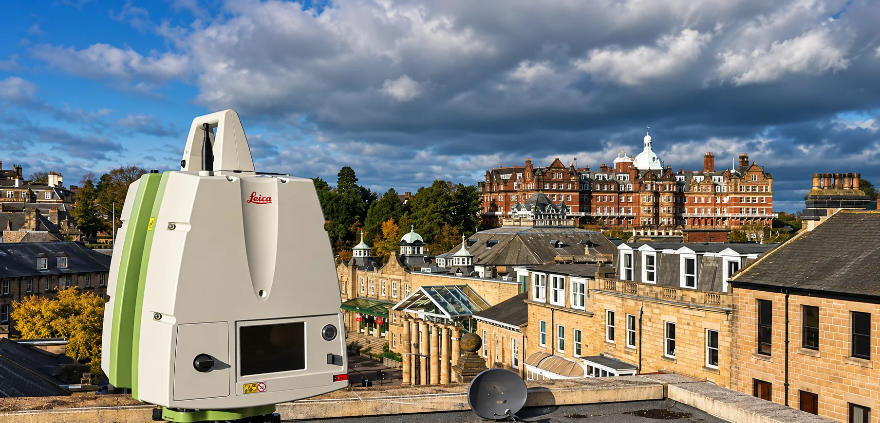
Land & building surveyors · Leeds, Yorkshire Precision Surveying. Delivered.
Measured building surveys, laser scanning, topographic surveys, underground utilities & drone surveys — across Yorkshire and the UK.
Why Choose CT Surveys
Experience You Can
Measure.
Founded in 2004 by Chris Tutin, with Andrew Barraclough joining in 2006 and becoming a Director in February 2022, CT Surveys has built a reputation across Yorkshire and the wider UK for accurate, high-quality survey data delivered on time. Both directors are ICES members, Chris as a Chartered member and Andrew as a Technical member, with over 50 years combined in the geomatics industry.
We own and operate the latest Leica and Faro laser scanning equipment — meaning no sub-contracted hardware, no re-visits, and no surprises. Our comprehensive point cloud can capture everything you need from a single site visit.
Our Services
What We Do
From underground utilities to drone surveys, CT Surveys provides a comprehensive range of precision geomatics services from a single experienced team.
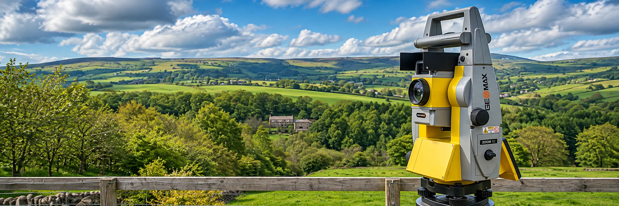
Topographic Surveys
Detailed 2D/3D CAD site mapping to accurately capture ground features, levels, and boundaries.
Learn more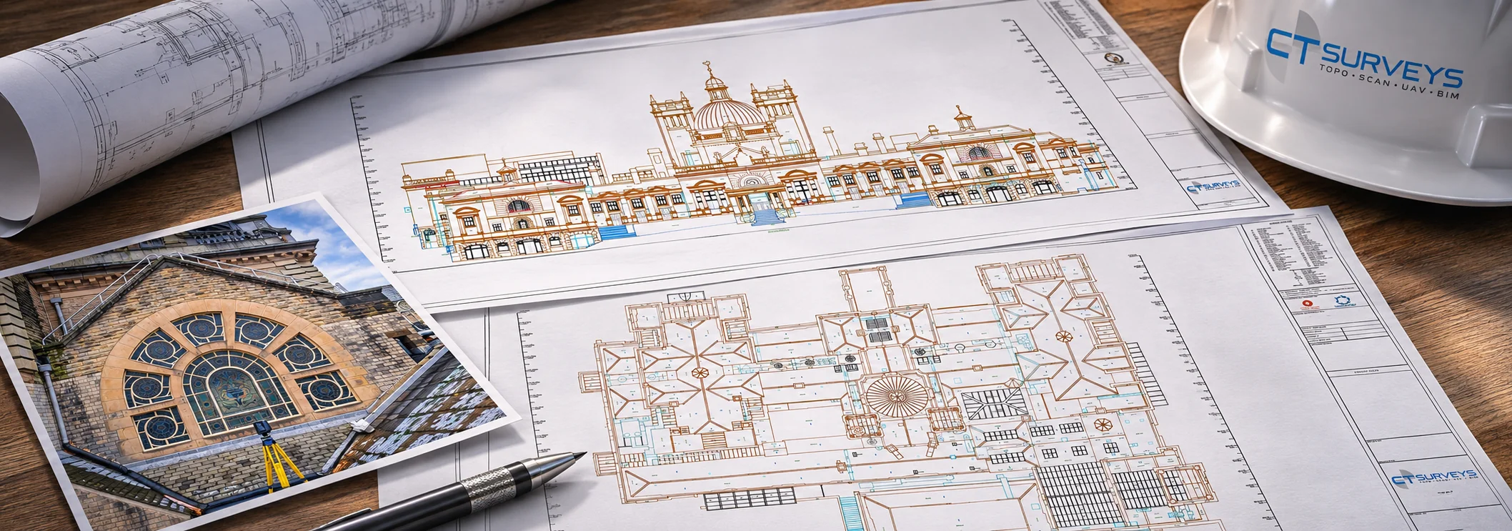
Measured Building Surveys
Accurate floor plans, elevations, and cross-sections — essential for refurbishment and planning.
Learn more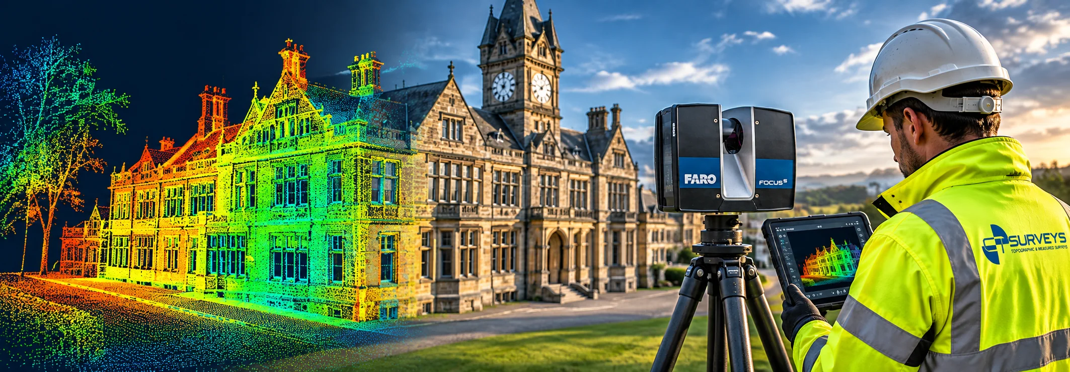
3D Laser Scanning
High-speed point cloud capture using Leica P40 and Faro Focus S70 scanners — up to 1 million points per second for complete, accurate spatial data.
Learn more
BIM & 3D Modelling
Full scan-to-BIM services in Autodesk Revit — from basic LOD 200 shells to detailed LOD 400 models, supporting modern construction workflows and planning submissions.
Learn more
Rights of Light Surveys
3D visualisations and analysis for Rights of Light assessments supporting planning submissions.
Learn more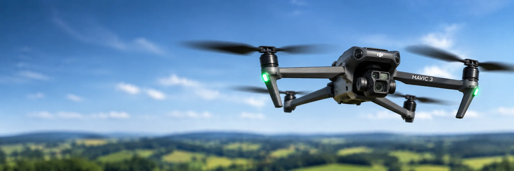
Drone & UAV Surveys
Aerial photography and 3D modelling using commercially qualified UAV pilots for difficult-access sites.
Learn more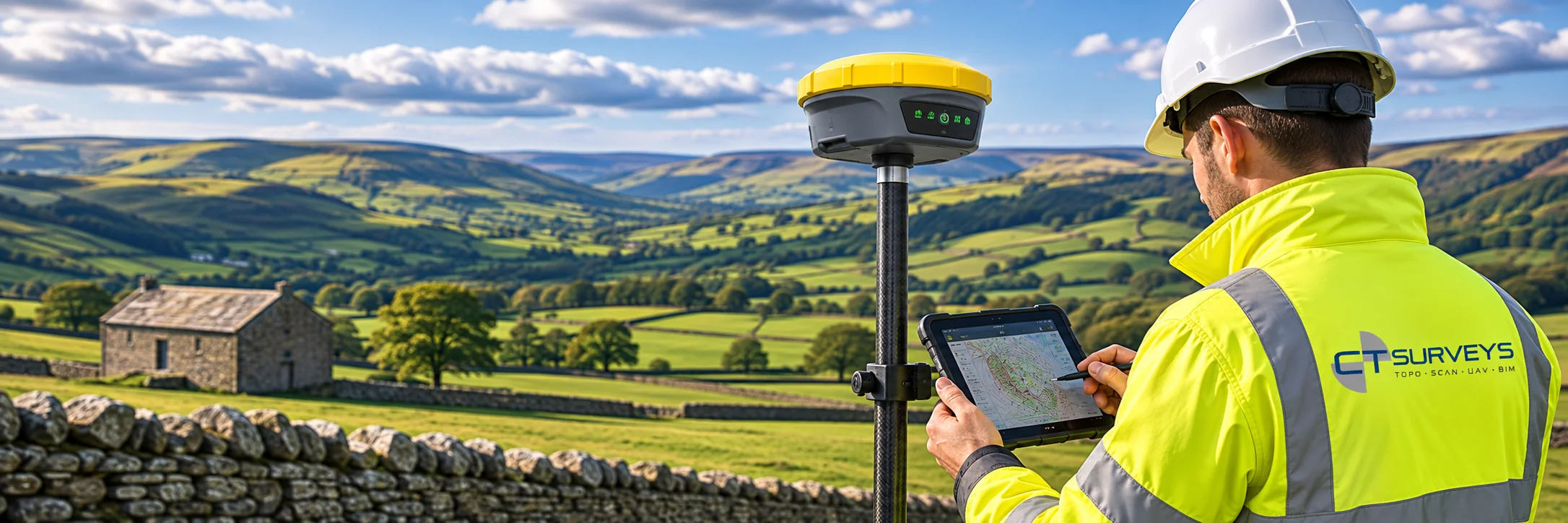
GPS Surveys
RTK GPS control for topographic and flood risk surveys using the GeoMax Zenith60 GNSS smart antenna.
Learn more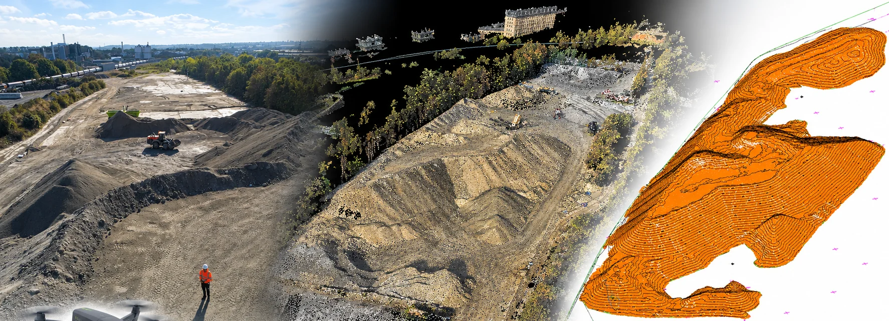
Stockpile Volume Survey
Drone capture and 3D modelling to measure stockpile volumes quickly, safely and accurately.
Learn more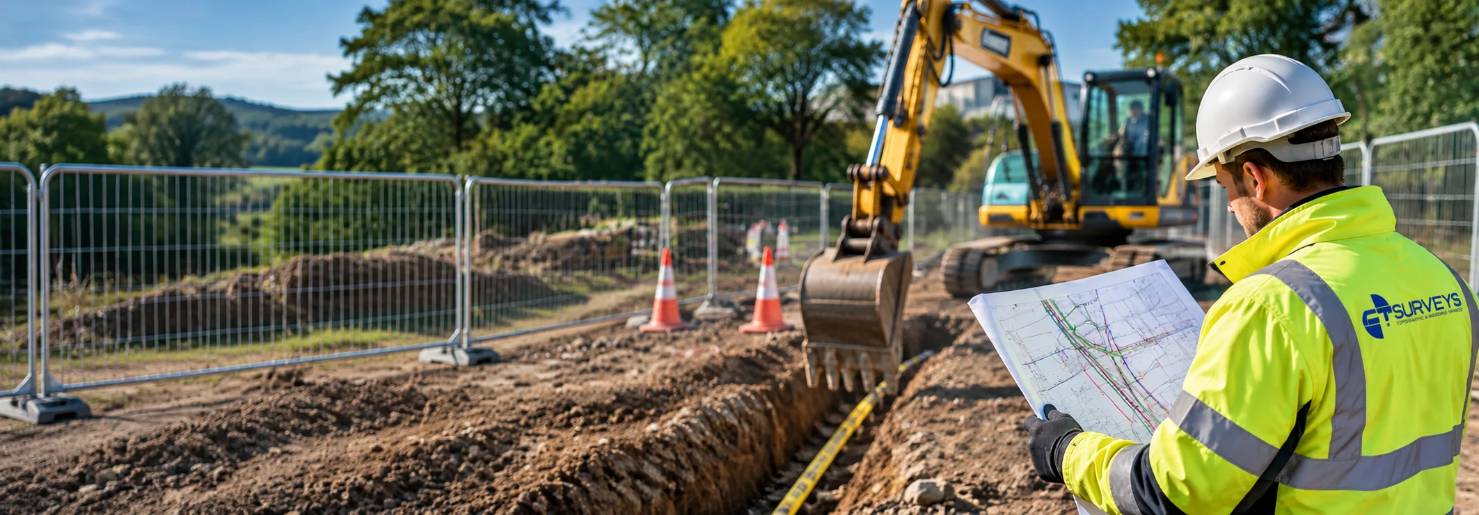
Underground Utility Detection
Electromagnetic and GPR techniques to accurately locate buried utility services on construction sites.
Learn moreNeed something specific? Talk to us — we tailor every engagement to your exact requirements.
How It Works
From Brief to Delivery
A clear, proven process — built around your project, not ours.
-
Step 01
Brief & Quote
Tell us your requirements — site details, intended use, output format. We review everything and send a tailored, transparent quote. No generic day rates.
-
Step 02
Site Survey
Our qualified team arrive with the relevant equipment to carry out the survey.
-
Step 03
Processing
Everything is processed in-house. Leica Cyclone and CHCNAV CoPre register scan data into point clouds, LSS builds terrain models from topographic and point cloud data, and CAD and Revit produce your 2D drawings and 3D models. No data leaves our control until delivery.
-
Step 04
Delivery
Accurate CAD files, point cloud data, BIM models, or drone outputs — delivered to your exact specification, on time, ready to use in your workflow.
Our Equipment
Industry-Leading
Technology
We own and operate our equipment — no third-party hire, no delays, no compromise on quality.
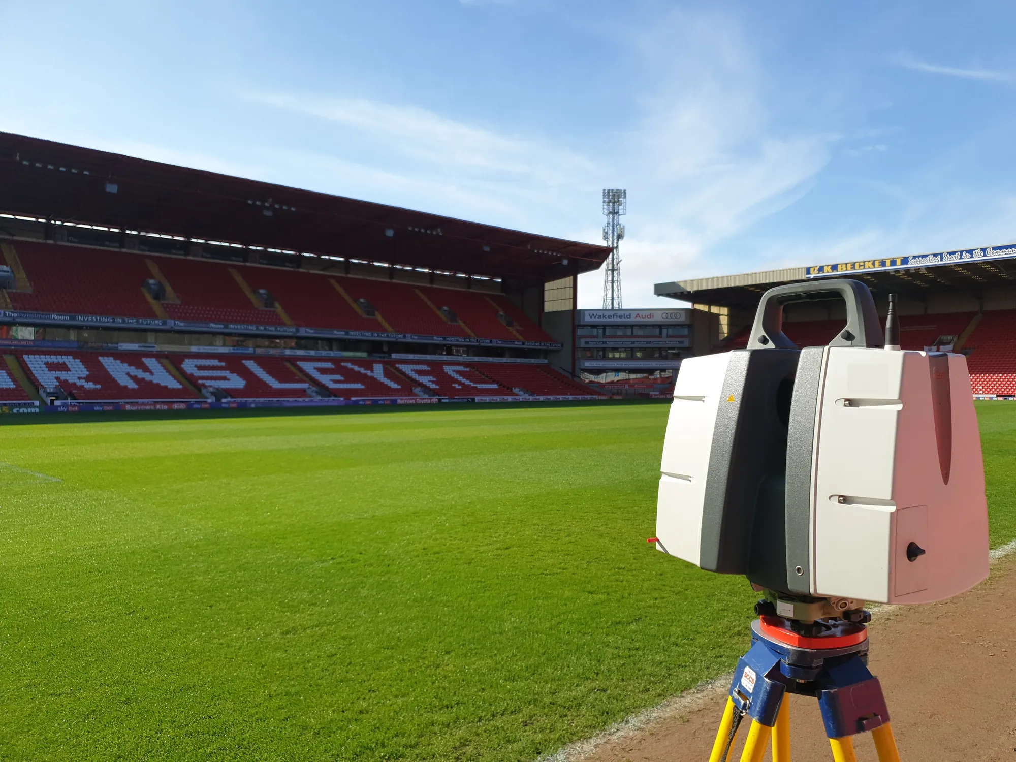
Leica ScanStation P40
Our long-range workhorse for large buildings, façades and infrastructure, delivering dependable accuracy at distance.
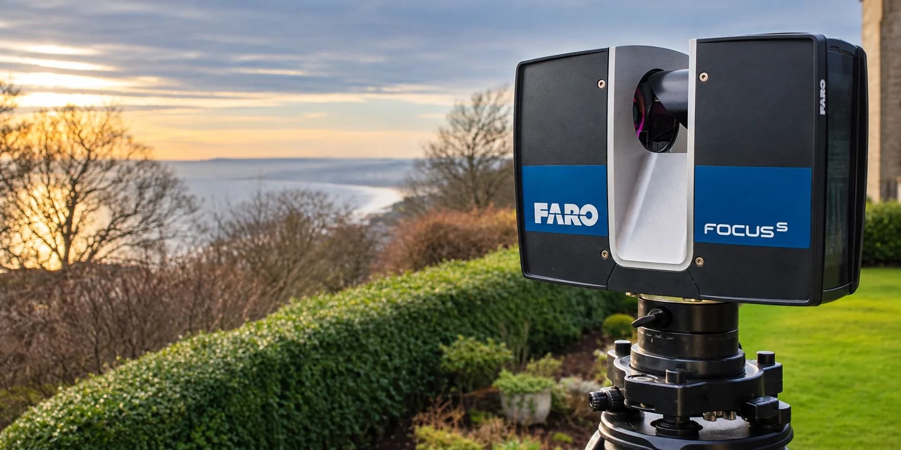
FARO Focus S70
Fast, compact scanning for complex interiors, confined spaces and rapid-capture projects, with colourised point clouds.
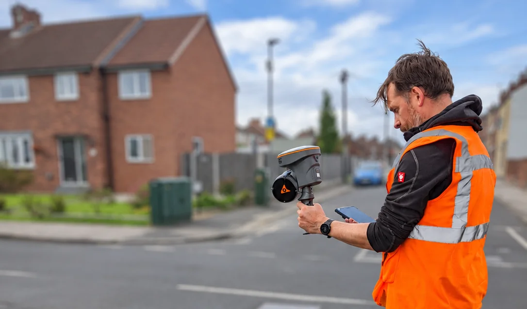
CHCNAV RS10
Rapid mapping of large, open or irregular areas on foot, geo-referenced as it goes. Ideal where speed matters more than millimetre detail.
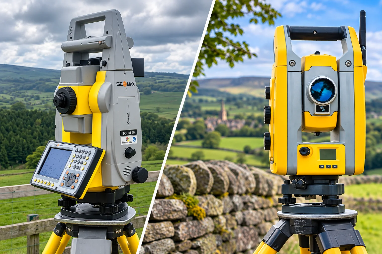
GeoMax Zoom90 & Trimble S5
Precise, high-range measurement for detailed topographic surveys, building elevations and setting out, with robotic one-person surveying that keeps tracking the target to speed up detail capture and layout work on site.
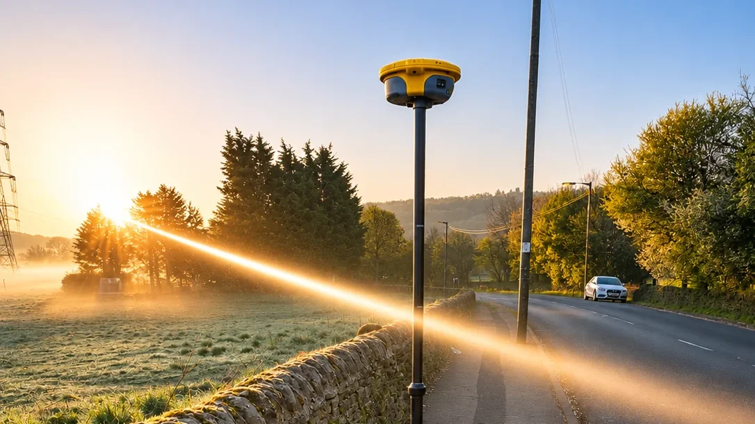
GeoMax Zenith60
Compact RTK GPS for survey control, topographic and flood risk surveys, and locating trial pits and boreholes.
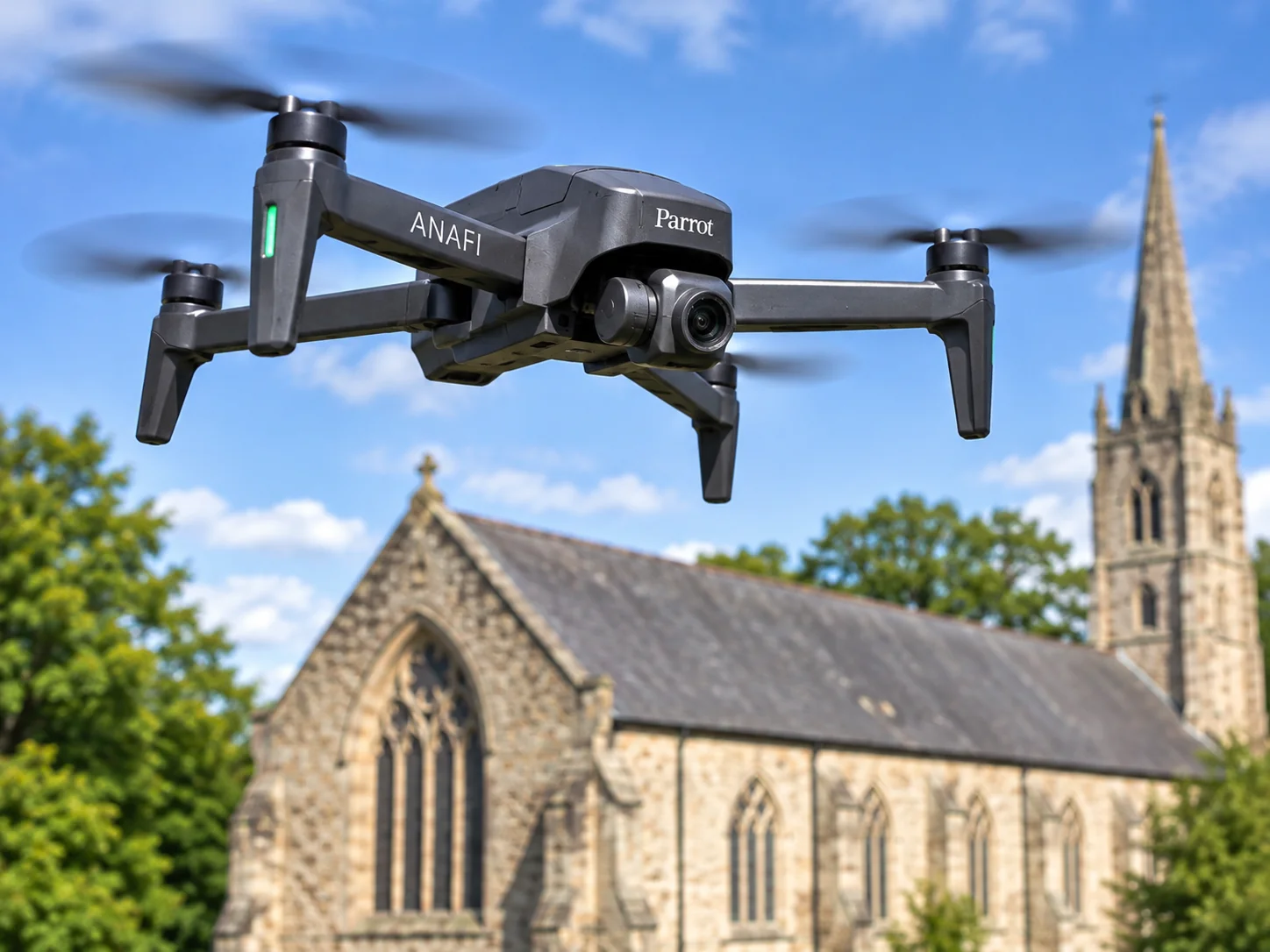
Parrot Anafi
Aerial photography, orthomosaics and 3D models flown by commercially qualified pilots, ideal for difficult-access sites, large areas and stockpile volumes.
Processing: Leica Cyclone · CHCNAV CoPre · Land Survey Software (LSS) · CAD · Autodesk Revit
Portfolio
Recent Projects

3D Laser Scanning
The Royal Baths, Harrogate
Harrogate, North Yorkshire
View project
3D Laser Scanning
Wade House, Leeds – 3D Laser Scanning & BIM Survey for Commercial Refurbishment
Leeds
View project
3D Laser Scanning
Mount St Mary's Church – 3D Laser Scanning & BIM Modelling
Leeds
View project
3D Laser Scanning
Heritage Building – 3D Laser Scanning & Drone Survey
North Yorkshire
View project
3D Laser Scanning
Spurn Lightship – 3D Laser Scanning & CAD Modelling of a Historic Vessel
Hull
View project
3D Laser Scanning
Thatched Cottage, Knaresborough
Knaresborough, North Yorkshire
View project26+ project videos available — from rail bridges and stadiums to historic churches and coastal sites.
Client Feedback
Trusted Across the Industry
"Amazing work the topographic survey looks great, thanks for the quick turnaround on this. Looking forward to working with you again, you guys will be our go to for future surveys."
Service Area
Based in Yorkshire.
Working UK-Wide.
Our central Yorkshire location — with direct access to the M1, A1(M), M62, and M18 — means we can reach any site across the country quickly and efficiently. We regularly undertake projects in London, Scotland, Wales, and beyond.
No project is too far. Our self-contained teams bring all equipment, expertise, and processing capability — so your survey is captured and delivered without delay.
- Yorkshire (all areas)
- Lancashire
- North East England
- East Midlands
- West Midlands
- Greater Manchester
- London & South East
- Scotland & Wales
Direct motorway access: M1 · A1(M) · M62 · M18
UK-Wide
From Yorkshire base
Get in Touch
Ready to Start
Your Project?
Tell us about your project and we'll get back to you with a tailored quote. No fixed daily rates — we price based on your specific requirements.
What to expect
- 01
Tell us about your project
Share your requirements, site details, and any drawings you have. We'll review everything before quoting.
- 02
We send a tailored quote
Pricing based on your specific needs — not generic day rates. Transparent and competitive.
- 03
We survey your site
Our qualified team arrive with the relevant equipment to carry out the survey.
- 04
Receive your survey data
Accurate CAD files, point cloud data, BIM models — delivered to your specification, on time.