
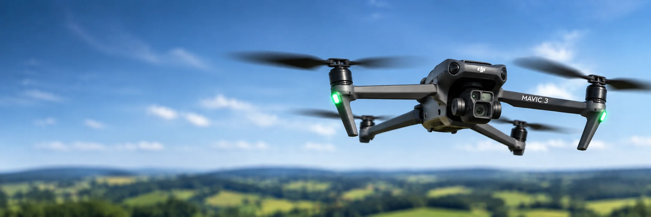
Drone & UAV Surveys
The view from above, without scaffolding or access problems.
Our commercially qualified UAV pilots capture high-resolution aerial photography and 3D models of roofs, facades, large sites and places that are difficult or unsafe to reach on foot. It is quicker than traditional access methods and gives you a clear visual record.
About This Service
Drone & UAV Surveys, explained
A different point of view
Some parts of a site are simply hard to reach: pitched roofs, tall façades, chimneys, steep banks, large open land or areas that are unsafe to access. A drone gets a camera there in minutes, without scaffolding, access platforms or putting anyone at height.
It is often the quickest and most economical way to see the whole of a building or site at once.
How we fly and what we produce
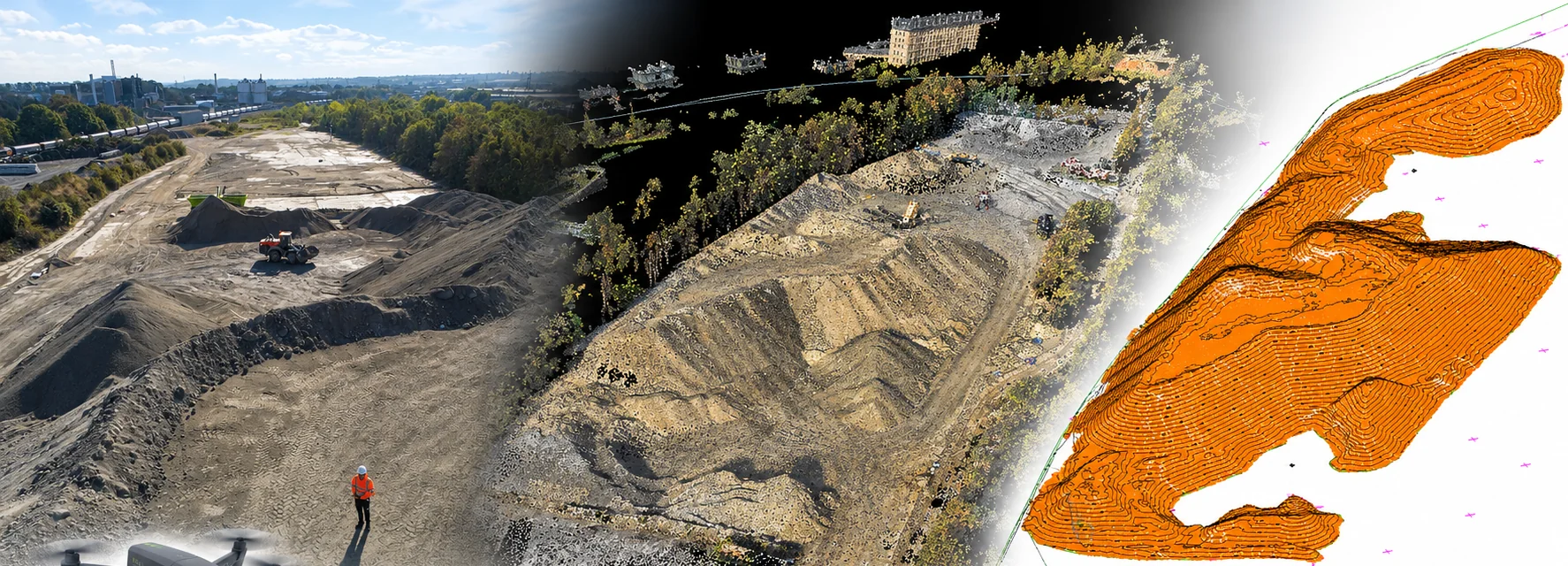
Our commercially qualified pilots plan each flight in advance, check airspace and conditions, and complete pre-flight checks before launch. Overlapping high-resolution photographs are captured in structured passes and then processed into 3D models, orthomosaic plans and detailed stills.
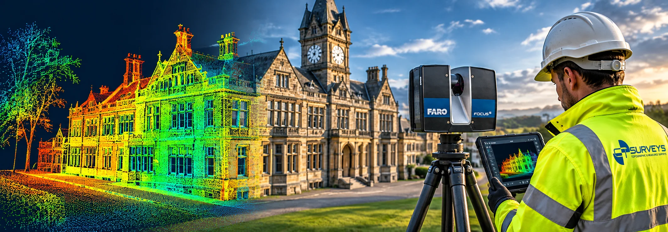
Drone data works especially well alongside laser scanning. A ground-based scanner cannot see most of a roof, but the drone can, so the two datasets together give a complete model of the building. In open areas, drone data can also be used to create ground models for 2D and 3D CAD drawings.
Typical uses
Roof and façade condition inspection, pre-purchase and due diligence surveys, large site mapping, progress monitoring on construction projects, planning and marketing imagery, and visual records of heritage buildings and landscape features.
Weather matters: wind, rain and poor visibility can stop a flight, so we plan around the forecast and rebook promptly if conditions change.
Who It's For
Built around what you need
- 01
Building owners & surveyors
Roof and facade condition imagery without the cost of scaffolding or cherry pickers.
- 02
Developers & land agents
Aerial context, progress records and marketing imagery for large sites.
- 03
Contractors & engineers
Site-wide progress capture and stockpile or earthworks measurement.
- 04
Planning & heritage teams
Detailed records of inaccessible architecture and landscape features.
Deliverables
What you receive
- High-resolution stills and video
- Orthomosaic site plans
- 3D textured models and point clouds from photogrammetry
- Roof and facade inspection imagery
- Data aligned with ground control for survey-grade use on request
How It Works
From enquiry to delivered data
- 01
Plan the flight
We assess airspace, permissions and site risks and plan the capture.
- 02
Fly the site
Our pilots capture imagery in planned flight lines, weather permitting.
- 03
Process
Photos are processed into models, orthomosaics and measured outputs.
- 04
Deliver
Imagery and models are delivered in formats suited to your use.
FAQs
Common questions
Is flying a drone allowed on my site?
We check airspace and landowner permissions as part of planning. Our pilots are commercially qualified and follow CAA rules.
What if the weather is poor?
Wind and rain can stop drone flights. We will rearrange to the next suitable window.
Are drone surveys accurate enough for measurement?
With ground control, they can be suitable for many measurement tasks. We advise on suitability for your purpose.
Get in Touch
Ready to Start
Your Project?
Tell us about your project and we'll get back to you with a tailored quote. No fixed daily rates — we price based on your specific requirements.
What to expect
- 01
Tell us about your project
Share your requirements, site details, and any drawings you have. We'll review everything before quoting.
- 02
We send a tailored quote
Pricing based on your specific needs — not generic day rates. Transparent and competitive.
- 03
We survey your site
Our qualified team arrive with the relevant equipment to carry out the survey.
- 04
Receive your survey data
Accurate CAD files, point cloud data, BIM models — delivered to your specification, on time.