
Wade House, Leeds – 3D Laser Scanning & BIM Survey for Commercial Refurbishment
A comprehensive 3D laser scanning and measured building survey of Wade House and the surrounding Merrion Centre structures in Leeds city centre, involving almost 3,000 individual scans and the production of detailed 2D CAD drawings and a coordinated 3D BIM model.

01
The brief
Wade House is a prominent multi-storey commercial building situated above the Merrion Centre in the heart of Leeds. The building forms part of a complex development incorporating retail premises, offices, glazed roof structures, plant areas and interconnected access levels.
CT Surveys was commissioned to undertake a comprehensive 3D laser scanning and measured building survey to support proposals for the refurbishment and potential redevelopment of the building, including the replacement of its existing external façade cladding.
The project required accurate and detailed survey information covering the building's multiple floors, external elevations, roof structures and surrounding areas.
Particular importance was placed on accurately recording the building's external geometry, window arrangements, structural features and existing façade details to provide architects and designers with reliable information for developing the proposed cladding and refurbishment schemes.
The survey was to be delivered as detailed 2D CAD drawings and a coordinated 3D BIM model, providing a comprehensive record of the existing building and its relationship with the surrounding Merrion Centre structures.
02
Our approach
Due to the scale and complexity of the development, CT Surveys employed terrestrial 3D laser scanning to capture the building's internal and external geometry.
Survey work was undertaken across multiple floors, roof levels, external terraces and accessible surrounding areas. The busy city-centre environment, combined with the building's height, extensive glazing and interconnected structures, presented significant logistical and technical challenges.
Almost 3,000 individual laser scans were completed, capturing an extensive amount of detailed spatial information. The scans were registered and processed using Leica Cyclone software, producing a coordinated 3D point cloud dataset of approximately 750GB.
The registered point cloud provided the foundation for producing detailed 2D CAD floor plans, external elevations, sections and a 3D BIM model.
Particular attention was given to the building's repetitive façade geometry, structural features, glazed roof structures, rooftop plant areas and the relationships between the various building levels.
Combining conventional surveying techniques with high-definition laser scanning enabled the survey information to be accurately coordinated throughout the development.
03
The outcome
The completed survey provided the client and their design team with a comprehensive and accurately coordinated record of Wade House and the surrounding Merrion Centre structures.
Deliverables included detailed 2D CAD floor plans across multiple levels, external building elevations, sections, roof plans and a 3D BIM model developed from the registered laser scanning data.
The detailed external elevations and 3D model provided essential information for assessing the existing façade and developing proposals for replacement cladding, helping the design team understand the building's geometry, window positions, structural arrangements and relationships between individual building elements.
The coordinated survey information also provided a reliable foundation for the wider refurbishment and potential redevelopment proposals, reducing the need for repeated site measurements during the design process.
With almost 3,000 individual laser scans and approximately 750GB of registered point cloud data, the project demonstrates CT Surveys' capability to manage complex, large-scale commercial surveys and transform extensive survey datasets into accurate, practical information for architects, engineers and other construction professionals.
Gallery
More from this project
Photos of the scanner on site Graphic showing the BIM model and CAD drawings BIM title sheet
The service behind this project
3D Laser Scanning
Capture the whole site once. Measure it as many times as you need.
We use Leica P40 and Faro Focus S70 scanners to record up to a million points a second, building a dense, measurable 3D copy of your building or site. Once the building is captured, designers can pull any dimension they need later without anyone going back to site.
Explore 3D Laser Scanning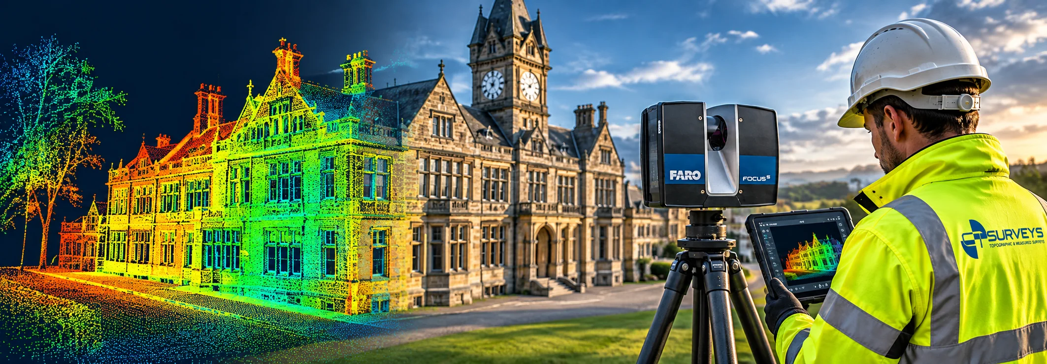
More projects
View all projects →
3D Laser Scanning
The Royal Baths, Harrogate
Harrogate, North Yorkshire
View project
3D Laser Scanning
Mount St Mary's Church – 3D Laser Scanning & BIM Modelling
Leeds
View project
3D Laser Scanning
Heritage Building – 3D Laser Scanning & Drone Survey
North Yorkshire
View projectGet in Touch
Ready to Start
Your Project?
Tell us about your project and we'll get back to you with a tailored quote. No fixed daily rates — we price based on your specific requirements.
What to expect
- 01
Tell us about your project
Share your requirements, site details, and any drawings you have. We'll review everything before quoting.
- 02
We send a tailored quote
Pricing based on your specific needs — not generic day rates. Transparent and competitive.
- 03
We survey your site
Our qualified team arrive with the relevant equipment to carry out the survey.
- 04
Receive your survey data
Accurate CAD files, point cloud data, BIM models — delivered to your specification, on time.