
3D Laser Scanning
Capture the whole site once. Measure it as many times as you need.
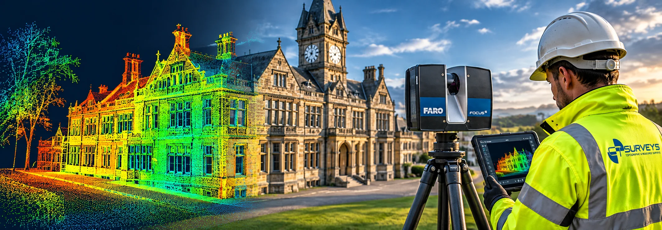
We use Leica P40 and Faro Focus S70 scanners to record up to a million points a second, building a dense, measurable 3D copy of your building or site. Once the building is captured, designers can pull any dimension they need later without anyone going back to site.
About This Service
3D Laser Scanning, explained
What is 3D laser scanning?
A laser scanner sits on a tripod, spins through 360 degrees and fires a beam of light at everything around it, recording the distance and angle of each reflection. Millions of these measurements, each one a point in space, build up into a point cloud: a dense, three-dimensional copy of the building or site as it stands today.
The result is a record you can walk around on screen and measure from. Where a traditional survey captures the specific dimensions someone thought to ask for, a scan captures everything in line of sight, so questions that come up months later can still be answered from the data.
How we scan
We work with Leica P40 and Faro Focus S70 scanners, both capable of recording up to a million points a second, and we have been scanning since 2006. A typical room takes minutes rather than hours, so large buildings, complex roof spaces and multi-storey sites can be covered in a fraction of the time a conventional measured survey would take.
Individual scan positions are linked together using targets and overlapping data, then registered into a single point cloud in Leica Cyclone. Because we capture more than most projects strictly need, return visits are rare.
For large, open or irregular areas where speed matters more than millimetre detail, we also use a CHCNAV RS10 handheld SLAM scanner with built-in GNSS. The operator simply walks the site and the data is geo-referenced as it is captured.
Where it works best
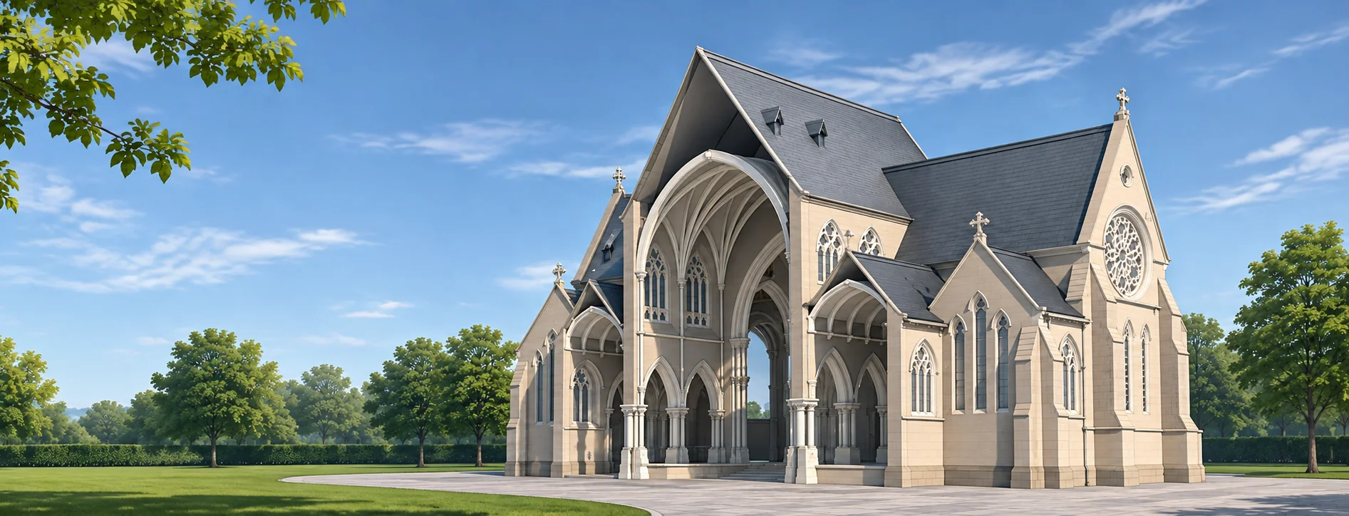
Scanning earns its keep on buildings with complicated geometry, such as mills, churches and period properties with irregular walls and decorative detail, and on places that are awkward or unsafe to measure by hand: tall atriums, plant rooms, roof voids, stairwells and busy live buildings. It is also the right starting point for refurbishment, change of use, façade retention and any project heading towards BIM.
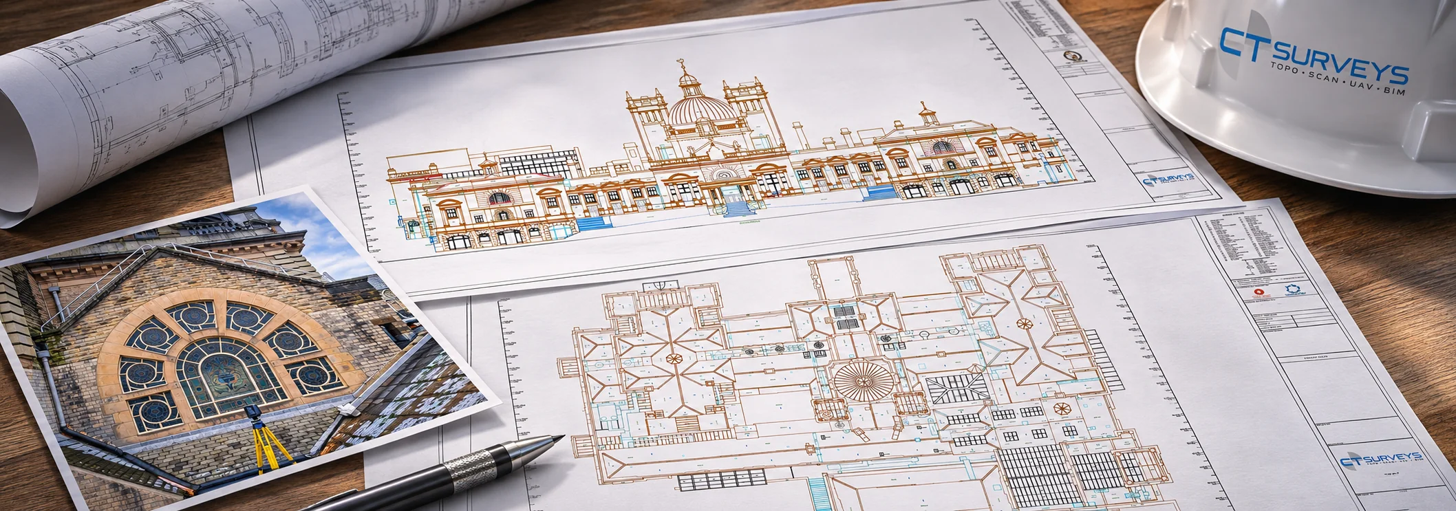
The same data can be turned into floor plans, elevations, sections, orthographic images, perspective views for planning submissions, or a Revit model. A laser scan survey can support every stage of the design.
Who It's For
Built around what you need
- 01
Architects
Accurate existing-condition data to design from, with no guesswork about what is really there.
- 02
Developers & project managers
Fewer surprises and variations once the design team and contractor start work on site.
- 03
Heritage & conservation teams
A non-contact, millimetre-level record of complex or fragile structures and ornate detail.
- 04
Industrial & facilities managers
As-built records of plant, process areas and live buildings, captured with minimal disruption.
Deliverables
What you receive
- Registered point cloud in E57, RCP or LAS (or other formats on request)
- 2D CAD plans, sections and elevations drawn from the scan
- Input data for Revit or other BIM models
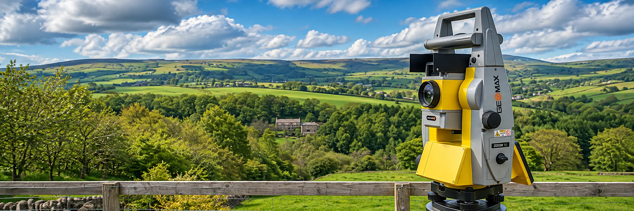
- Survey control tied to Ordnance Survey National Grid
How It Works
From enquiry to delivered data
- 01
Scope the scan
We agree the areas, level of detail and the outputs you need, then quote for your specific project.
- 02
Capture on site
Our team scans inside and out, working around your occupants and programme.
- 03
Register & check
Scans are stitched into one point cloud and checked against survey control.
- 04
Deliver your data
Point cloud and drawings are delivered in the formats your design team works in.
FAQs
Common questions
How accurate is a laser scan?
Scanners record each point to within a few millimetres. Overall accuracy depends on the site and the control used, and we confirm the tolerance we expect to achieve when we quote.
Can you scan while the building is occupied?
Yes. Scanning is quiet and non-intrusive, and we can work out of hours or around your staff and tenants.
Do I need special software to use the data?
No. We supply free viewers so you can look around and measure in the point cloud, as well as standard CAD and BIM outputs.
Get in Touch
Ready to Start
Your Project?
Tell us about your project and we'll get back to you with a tailored quote. No fixed daily rates — we price based on your specific requirements.
What to expect
- 01
Tell us about your project
Share your requirements, site details, and any drawings you have. We'll review everything before quoting.
- 02
We send a tailored quote
Pricing based on your specific needs — not generic day rates. Transparent and competitive.
- 03
We survey your site
Our qualified team arrive with the relevant equipment to carry out the survey.
- 04
Receive your survey data
Accurate CAD files, point cloud data, BIM models — delivered to your specification, on time.