
Spurn Lightship – 3D Laser Scanning & CAD Modelling of a Historic Vessel
A comprehensive internal and external 3D laser scanning survey of the historic Spurn Lightship in Hull, undertaken to support conservation and restoration. The survey captured the vessel's complex geometry, including its curved hull, internal compartments, decks, lantern tower and rigging, providing the basis for accurate 2D CAD plans and a detailed 3D CAD model.

01
The brief
The historic Spurn Lightship presented a unique surveying challenge, with its curved hull, multiple deck levels, internal compartments, lantern tower, masts and extensive rigging.
A comprehensive internal and external measured survey was required to provide an accurate digital record of the entire vessel, supporting conservation and restoration work.
The survey needed to capture the complex geometry and structural arrangements of the lightship, including areas that would be difficult to measure using traditional surveying methods.
The resulting point cloud data was also used in a local art exhibition, demonstrating the wider applications of 3D laser scanning technology.
02
Our approach
CT Surveys used a FARO Focus S70 terrestrial laser scanner to undertake a comprehensive internal and external survey of the vessel.
Multiple scanning positions were established around the quayside, across the decks and within the internal compartments to capture the hull, deckhouses, lantern tower, masts, rigging and internal structural arrangements.
The individual scans were registered together using Leica Cyclone REGISTER 360 to create a unified, measurable 3D point cloud of the lightship.
Using this data, our CAD technicians produced detailed 2D plans of the main and lower decks, together with a 3D CAD model representing the vessel's complex geometry and structural features.
The completed model provided a clear three-dimensional representation of the vessel, allowing its arrangement and construction to be examined and understood from different viewpoints.
03
The outcome
The completed survey provided a comprehensive and accurate digital record of the Spurn Lightship, combining 3D laser scanning data with detailed 2D CAD drawings and a 3D CAD model.
The deliverables included a registered 3D point cloud, main and lower deck plans, and a detailed three-dimensional model of the vessel.
Together, these provide a valuable resource for conservation specialists, architects and designers, allowing the vessel's complex geometry to be examined, measured and referenced when planning restoration and maintenance work.
The project demonstrates CT Surveys' ability to apply modern surveying and 3D modelling techniques to complex and unusual heritage structures, extending beyond conventional measured building surveys.
Gallery
More from this project
Images of the scan data CAD Deck Plans Wireframe model from the 3D CAD created CAD model filled in with a surface Illustration showing the wireframe blending into the surface model
The service behind this project
3D Laser Scanning
Capture the whole site once. Measure it as many times as you need.
We use Leica P40 and Faro Focus S70 scanners to record up to a million points a second, building a dense, measurable 3D copy of your building or site. Once the building is captured, designers can pull any dimension they need later without anyone going back to site.
Explore 3D Laser Scanning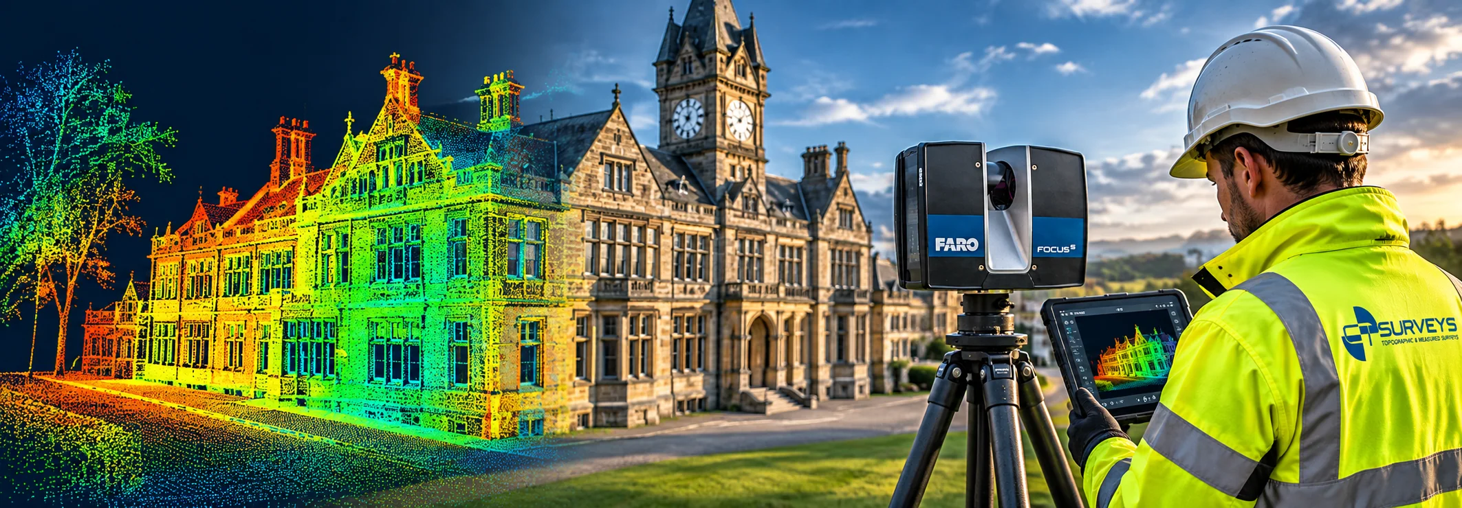
More projects
View all projects →
3D Laser Scanning
The Royal Baths, Harrogate
Harrogate, North Yorkshire
View project
3D Laser Scanning
Wade House, Leeds – 3D Laser Scanning & BIM Survey for Commercial Refurbishment
Leeds
View project
3D Laser Scanning
Mount St Mary's Church – 3D Laser Scanning & BIM Modelling
Leeds
View projectGet in Touch
Ready to Start
Your Project?
Tell us about your project and we'll get back to you with a tailored quote. No fixed daily rates — we price based on your specific requirements.
What to expect
- 01
Tell us about your project
Share your requirements, site details, and any drawings you have. We'll review everything before quoting.
- 02
We send a tailored quote
Pricing based on your specific needs — not generic day rates. Transparent and competitive.
- 03
We survey your site
Our qualified team arrive with the relevant equipment to carry out the survey.
- 04
Receive your survey data
Accurate CAD files, point cloud data, BIM models — delivered to your specification, on time.