
Rights of Light Surveys
Accurate 3D data for daylight and Rights of Light assessments.
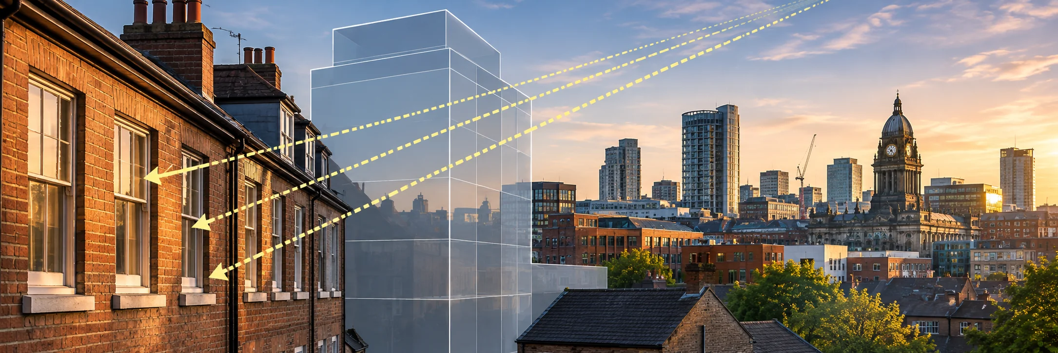
Rights of Light assessments depend on accurate geometry for both the proposed development and the neighbouring windows it could affect. We survey the surrounding buildings and openings in 3D and produce the models and visualisations your consultant needs.
About This Service
Rights of Light Surveys, explained
What are Rights of Light?
A Right of Light is a legal right, usually acquired after many years of uninterrupted use, to receive light through a window or opening. A new development that reduces the light reaching a neighbouring window can infringe that right, leading to disputes, injunctions or compensation claims that can delay or even stop a scheme.
Rights of Light is separate from planning daylight and sunlight assessments, although both depend on the same kind of geometry.
Where the survey fits in
Any assessment is only as good as the model it is run on. Specialist consultants need accurate 3D representations of the proposed building and of the neighbouring windows, rooms and surrounding buildings that might be affected.
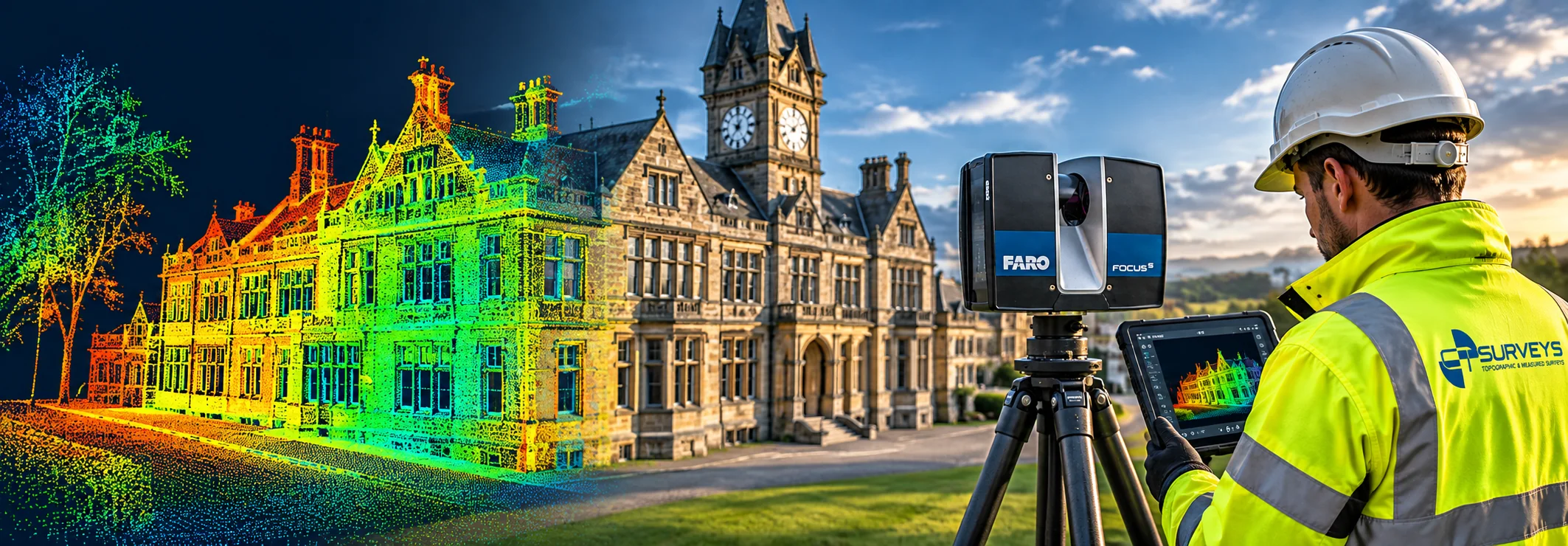
We provide that survey data. Using laser scanning and total stations, we record the surrounding buildings and window openings, and build clean 3D models in the formats your consultant works in. Point cloud data from our laser scanning can be used directly to create Rights of Light models.
Supporting planning and negotiation
The same 3D data supports planning submissions, with perspective views and visualisations that help planning officers and neighbours understand a proposal. It also gives developers early knowledge of how sensitive a site is, before design decisions are locked in.
We work for developers, architects and Rights of Light consultants, and can often capture much of the surrounding context from public areas, coordinating access to neighbouring properties where the extra measurements add value.
Who It's For
Built around what you need
- 01
Developers
Early, accurate geometry so light impacts are understood before they become planning or legal problems.
- 02
Rights of Light & daylight consultants
Reliable surveyed models of neighbouring buildings and windows to run their analysis on.
- 03
Architects & planners
Clear 3D visualisations to support planning submissions.
- 04
Neighbouring owners & their advisers
Independent, accurate survey of affected building facades.
Deliverables
What you receive
- 3D model of surrounding buildings and window openings
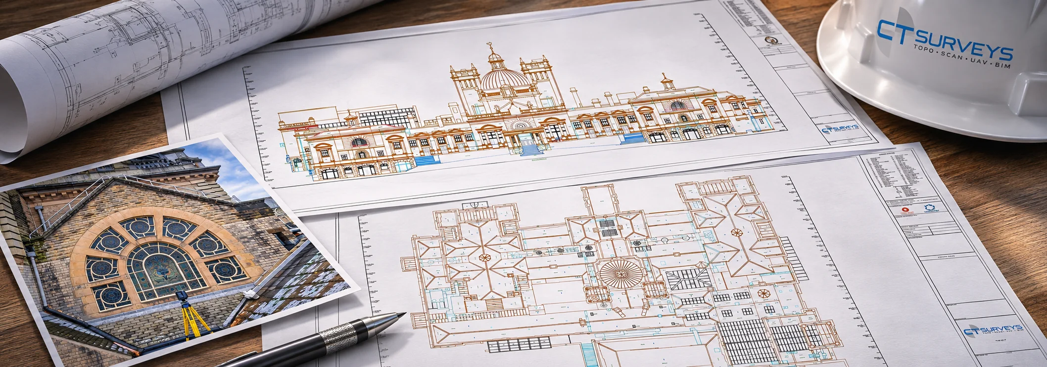
- Context model in formats consultants use (DWG, Revit, IFC)
- 3D visualisations for planning submissions
- Survey tied to National Grid for accurate overlays
How It Works
From enquiry to delivered data
- 01
Define the study area
We agree which neighbouring buildings and windows need surveying.
- 02
Survey the context
Laser scanning and total station capture the buildings and openings.
- 03
Build the model
Data is turned into a clean 3D model for analysis.
- 04
Hand over
We supply the model to your consultant in the format they need.
FAQs
Common questions
Do you carry out the Rights of Light analysis itself?
We provide the survey data and 3D models that the assessment is based on. The analysis is normally carried out by your Rights of Light consultant.
Do you need access to neighbouring properties?
Much can be captured from public areas. Where interior access is useful, we can coordinate with you.
Which software formats do you supply?
DWG, Revit, IFC and point cloud formats are all available.
Get in Touch
Ready to Start
Your Project?
Tell us about your project and we'll get back to you with a tailored quote. No fixed daily rates — we price based on your specific requirements.
What to expect
- 01
Tell us about your project
Share your requirements, site details, and any drawings you have. We'll review everything before quoting.
- 02
We send a tailored quote
Pricing based on your specific needs — not generic day rates. Transparent and competitive.
- 03
We survey your site
Our qualified team arrive with the relevant equipment to carry out the survey.
- 04
Receive your survey data
Accurate CAD files, point cloud data, BIM models — delivered to your specification, on time.