
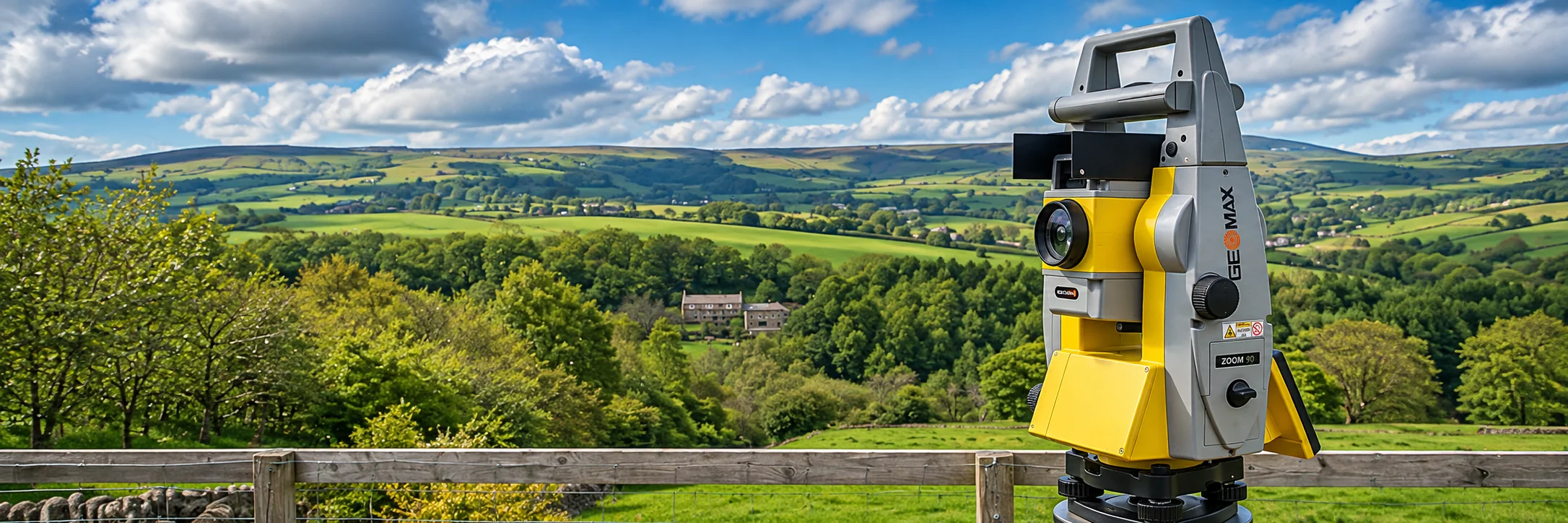
Topographic Surveys
Know exactly what is on the ground before design begins.
A topographic survey is the starting point for most projects. We map ground levels, buildings, kerb lines, boundaries, trees, drainage covers and every visible feature, then deliver clean 2D or 3D CAD drawings your team can design straight onto.
About This Service
Topographic Surveys, explained
Why every project starts here
Before anyone can design on a piece of land, they need to know what is actually on it: how it falls, where the boundaries run, what is standing and what is buried. A topographic survey records all of this as a scaled, accurate drawing that architects and engineers can design directly onto.
Skipping it, or relying on out-of-date mapping, is one of the most common causes of redesign, delay and extra cost later in a scheme.
What we record
Our surveys capture ground levels and contours, building footprints with eaves and ridge heights, kerb lines and road edges, boundary walls and fences, trees and hedges, drainage covers and visible services, steps, banks and changes in level. We tailor the level of detail to the scheme, from a small development plot to a large site, and draw it to your preferred layering.
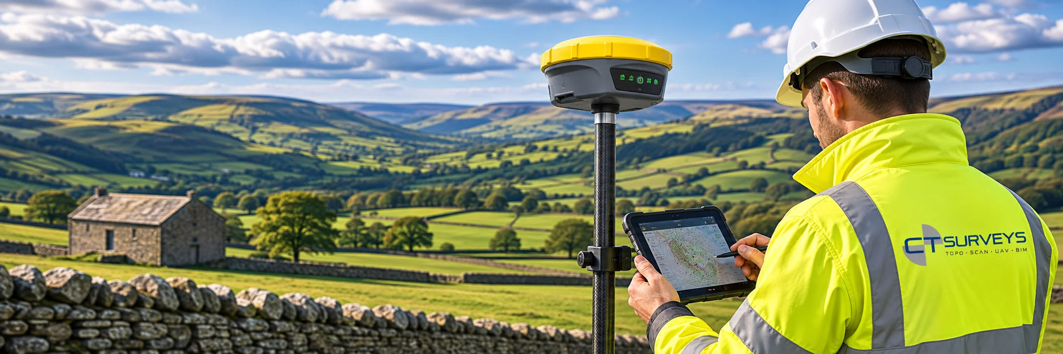
Survey control is established with RTK GPS and tied to the Ordnance Survey National Grid and Datum, so the drawing sits correctly in the real world and can be combined with other data.
The right tool for each part of the site
We combine GPS, total stations and laser scanners, choosing whichever suits each area. Open ground is quick with GPS, built-up areas with total station, and complex façades or structures with scanning. For larger or hard-to-reach sites we can add drone photography to build a ground model.
The result is delivered as 2D CAD, or as a 3D ground model if your design software needs one.
Who It's For
Built around what you need
- 01
Architects
Reliable site data to base planning and design drawings on.
- 02
Developers & land agents
Levels, boundaries and constraints identified early, before land or design commitments are made.
- 03
Civil & drainage engineers
Accurate levels and invert data for drainage, highways and earthworks design.
- 04
Self-builders & homeowners
A professional site plan for a planning application or extension.
Deliverables
What you receive
- 2D CAD site plan in DWG/DXF with layered detail
- 3D ground model and contours on request
- Spot levels, building footprints, eaves and ridge heights
- Boundary features, trees (with canopy spread) and services covers
- Survey tied to Ordnance Survey National Grid and Datum
How It Works
From enquiry to delivered data
- 01
Brief & site details
Tell us the extent, purpose and the CAD layering you prefer.
- 02
Control & measurement
We set GPS control, then measure with total stations, GPS and laser scanners as suits the site.
- 03
Draw up
Field data is processed and drawn in CAD to a consistent, checked standard.
- 04
Issue
Drawings and data are sent to you ready to use, with any queries flagged.
FAQs
Common questions
How long does a topographic survey take?
Most small and medium sites are surveyed in a day or two on site, with drawings following shortly after. We will give you a programme when we quote.
Can you survey sites with dense vegetation?
Yes. We combine GPS, total station and scanning to capture what is accessible, and note any areas obscured by vegetation.
Can you combine this with utilities or drone data?
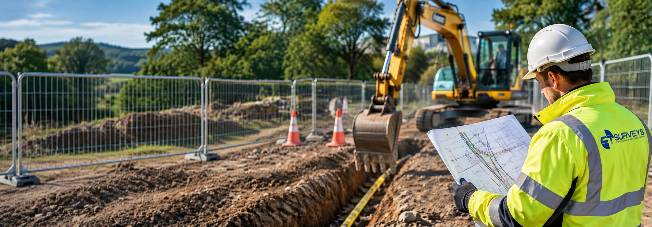
Yes. Combining above and below ground data into one drawing is a core part of what we do.

Get in Touch
Ready to Start
Your Project?
Tell us about your project and we'll get back to you with a tailored quote. No fixed daily rates — we price based on your specific requirements.
What to expect
- 01
Tell us about your project
Share your requirements, site details, and any drawings you have. We'll review everything before quoting.
- 02
We send a tailored quote
Pricing based on your specific needs — not generic day rates. Transparent and competitive.
- 03
We survey your site
Our qualified team arrive with the relevant equipment to carry out the survey.
- 04
Receive your survey data
Accurate CAD files, point cloud data, BIM models — delivered to your specification, on time.