
The Royal Baths, Harrogate
CT Surveys was commissioned to undertake a detailed measured survey of the historic Royal Baths in Harrogate to support proposals for the installation of additional rooftop plant equipment. A key consideration was ensuring that the proposed installations could be accommodated without adversely affecting the appearance of the building's elevations.

01
The brief
The Royal Baths features complex roof structures and intricate architectural detailing, making accurate measurement challenging. The survey needed to capture the roof geometry and surrounding building elevations to provide the design team with reliable information for planning the proposed installations.
Access to certain roof areas was restricted, requiring a combination of survey techniques to obtain the necessary information.
02
Our approach
CT Surveys combined terrestrial laser scanning with drone photogrammetry to capture detailed survey information across the building.
Laser scanning was used to record the building's elevations and accessible areas, whilst drone imagery provided additional coverage of the complex roof structures and areas that were difficult to survey from ground level.
The collected survey information was processed to produce coordinated, accurate drawings of the building.
03
The outcome
Detailed 2D CAD elevations and roof plans were produced, providing the design team with the information needed to assess the positioning of additional rooftop plant equipment.
The survey enabled the proposed alterations to be developed with consideration for the existing architecture and the visual appearance of this historic Harrogate landmark.
Gallery
More from this project
FaroFocus S70 on the roof in front of a detailed window The view of the data that the scanner located from a single position Drone image of the Dome and tower Drone image of the roof Orthomosaic of the roof and the finished CAD roof plan Illustration showing a photo blending into the CAD line work Close up of the CAD line drawing Elevation Sheet view
The service behind this project
3D Laser Scanning
Capture the whole site once. Measure it as many times as you need.
We use Leica P40 and Faro Focus S70 scanners to record up to a million points a second, building a dense, measurable 3D copy of your building or site. Once the building is captured, designers can pull any dimension they need later without anyone going back to site.
Explore 3D Laser Scanning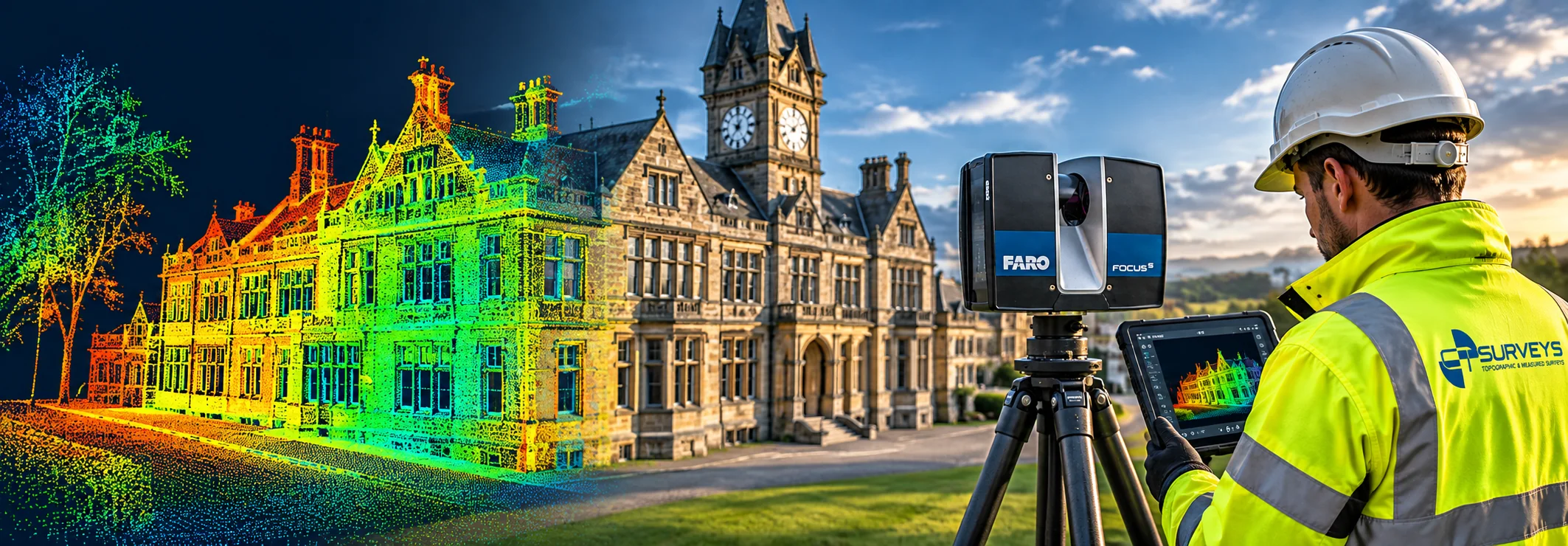
More projects
View all projects →
3D Laser Scanning
Wade House, Leeds – 3D Laser Scanning & BIM Survey for Commercial Refurbishment
Leeds
View project
3D Laser Scanning
Mount St Mary's Church – 3D Laser Scanning & BIM Modelling
Leeds
View project
3D Laser Scanning
Heritage Building – 3D Laser Scanning & Drone Survey
North Yorkshire
View projectGet in Touch
Ready to Start
Your Project?
Tell us about your project and we'll get back to you with a tailored quote. No fixed daily rates — we price based on your specific requirements.
What to expect
- 01
Tell us about your project
Share your requirements, site details, and any drawings you have. We'll review everything before quoting.
- 02
We send a tailored quote
Pricing based on your specific needs — not generic day rates. Transparent and competitive.
- 03
We survey your site
Our qualified team arrive with the relevant equipment to carry out the survey.
- 04
Receive your survey data
Accurate CAD files, point cloud data, BIM models — delivered to your specification, on time.