
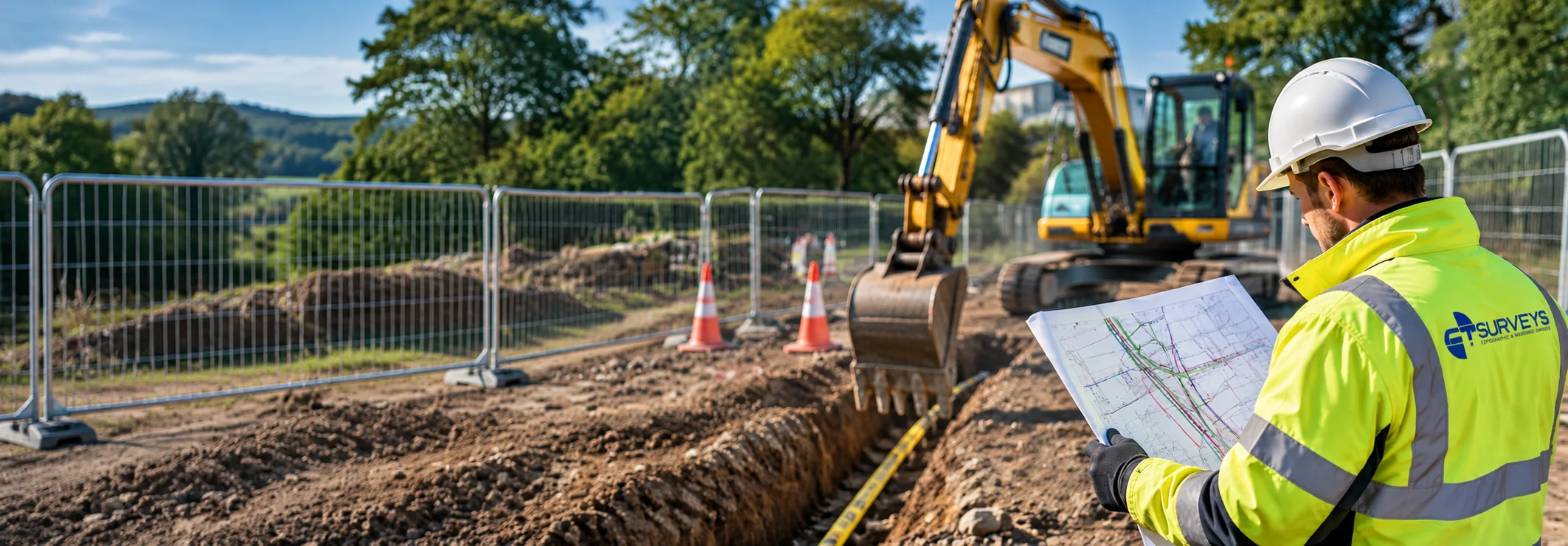
Underground Utility Detection
Find what is buried before you break ground.
Striking a buried service is dangerous, disruptive and expensive. We locate and map underground utilities using electromagnetic locators and ground penetrating radar, then record them on a drawing alongside your topographic survey so everyone on site knows what is below.
About This Service
Underground Utility Detection, explained
Why locate services before you dig
Buried pipes and cables are rarely where the records say they are, and plenty are not recorded at all. Hitting one is dangerous, can halt a site for days and can lead to expensive repairs and claims. Locating services before ground works begin is one of the cheapest forms of risk reduction on a project.
It is also valuable at design stage, when knowing where services run lets engineers route new connections, plan diversions and avoid abortive work.
How detection works
We start by reviewing available utility records so we know what to expect. On site, electromagnetic locators trace metallic pipes and cables, picking up either a signal already running on them or one we apply. Ground penetrating radar then scans the ground and finds objects the locator cannot, such as plastic and ceramic pipes, ducts and unrecorded buried features.
Using both methods together gives a far more reliable picture than either alone. Findings are marked on the ground where required and recorded on a drawing.
Honest about limits
No technique detects everything. Depth, ground type, nearby metalwork and moisture all affect results; radar travels well through dry sandy soil but struggles in wet clay. We explain what was and was not found, how confident we are, and where trial holes may be sensible to confirm a critical service.
Because we are also a topographic survey team, utility information can be combined with surface survey data in a single drawing, so you have one reliable record of the site above and below ground.
Who It's For
Built around what you need
- 01
Groundworks & civil contractors
Safer excavation, with services located and marked before plant goes in.
- 02
Developers & project managers
Early knowledge of constraints so design, programme and budget are not derailed by a surprise service.
- 03
Engineers & designers
Buried service positions on the same drawing as the surface survey for routing and diversions.
- 04
Landowners & utilities teams
A clear record of what is buried and where, for planning future work.
Deliverables
What you receive
- Services marked on the ground with paint and flags if required
- Utilities plotted in CAD with your topographic survey
- Notes on service type, depth (where determinable) and confidence
- GPR scan results for non-metallic or unrecorded services
- Clear reporting of any areas where detection was limited
How It Works
From enquiry to delivered data
- 01
Desktop records review
We gather available utility records to know what to expect on site.
- 02
Electromagnetic sweep
Locators trace metallic pipes and cables across the area.
- 03
GPR survey
Ground penetrating radar finds non-metallic and unrecorded services.
- 04
Mark & map
Findings are marked on site and plotted on a drawing for your team.
FAQs
Common questions
Can you detect every buried service?
No survey method is perfect. Ground conditions, depth and material all affect detection, and we are upfront about limitations and confidence levels in our reports.
How deep can you detect?
It varies with ground conditions. Radar penetrates further in dry, sandy soils than in wet clay, and we will advise on what to expect for your site.
Can this be combined with a topographic survey?
Yes. It is one of our most requested combinations, delivered as a single drawing.

Get in Touch
Ready to Start
Your Project?
Tell us about your project and we'll get back to you with a tailored quote. No fixed daily rates — we price based on your specific requirements.
What to expect
- 01
Tell us about your project
Share your requirements, site details, and any drawings you have. We'll review everything before quoting.
- 02
We send a tailored quote
Pricing based on your specific needs — not generic day rates. Transparent and competitive.
- 03
We survey your site
Our qualified team arrive with the relevant equipment to carry out the survey.
- 04
Receive your survey data
Accurate CAD files, point cloud data, BIM models — delivered to your specification, on time.