
Boundary Survey with Dimensions
Topographic survey of property boundaries and surrounding buildings, tied to the National Grid and presented for the Land Registry.

01
The brief
A boundary plan is only as useful as it is accurate. The client needed a survey that concentrated on the property boundaries and the buildings around them, with the distances between key points set out clearly enough to be checked.
The plan also had to be accurately positioned so that Ordnance Survey mapping could be aligned with it, and presented in a form the Land Registry could use.
02
Our approach
The survey was carried out using a total station, measuring the boundary features and surrounding buildings.
GPS technology was used to establish the survey’s position within the Ordnance Survey National Grid, which allows Ordnance Survey mapping to be accurately aligned with the survey drawing. Key boundary points were lettered on the plan, with a table of the measured dimensions between them.
03
The outcome
The survey plan was drawn and presented for use by the Land Registry. It shows the boundaries, the surrounding buildings and a dimension table, and it is signed off by the surveyor, so the client has a clear, citable record of the property boundaries.
Gallery
More from this project
The service behind this project
Topographic Surveys
Know exactly what is on the ground before design begins.
A topographic survey is the starting point for most projects. We map ground levels, buildings, kerb lines, boundaries, trees, drainage covers and every visible feature, then deliver clean 2D or 3D CAD drawings your team can design straight onto.
Explore Topographic Surveys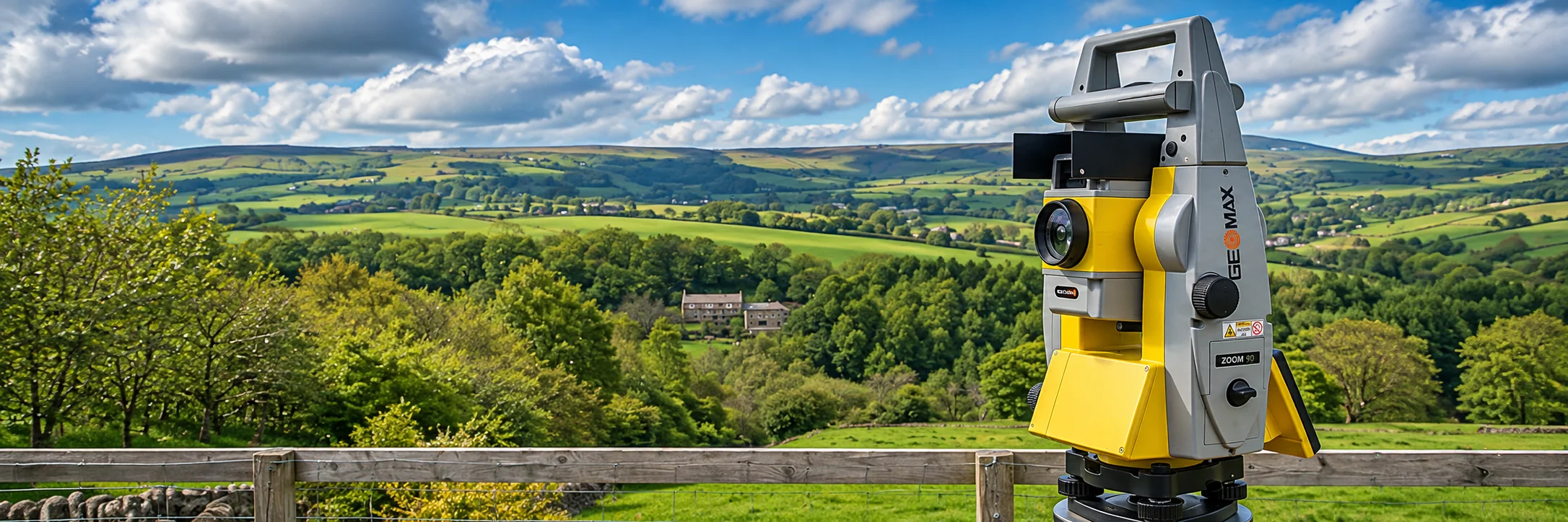
More projects
View all projects →
3D Laser Scanning
The Royal Baths, Harrogate
Harrogate, North Yorkshire
View project
3D Laser Scanning
Wade House, Leeds – 3D Laser Scanning & BIM Survey for Commercial Refurbishment
Leeds
View project
3D Laser Scanning
Mount St Mary's Church – 3D Laser Scanning & BIM Modelling
Leeds
View projectGet in Touch
Ready to Start
Your Project?
Tell us about your project and we'll get back to you with a tailored quote. No fixed daily rates — we price based on your specific requirements.
What to expect
- 01
Tell us about your project
Share your requirements, site details, and any drawings you have. We'll review everything before quoting.
- 02
We send a tailored quote
Pricing based on your specific needs — not generic day rates. Transparent and competitive.
- 03
We survey your site
Our qualified team arrive with the relevant equipment to carry out the survey.
- 04
Receive your survey data
Accurate CAD files, point cloud data, BIM models — delivered to your specification, on time.